Can Drones Use Thermal Imaging in the Rain? Understanding the Limitations and Science.
Thermal imaging has become a go-to tool in aerial surveying, search and rescue, wildlife observation, and many other applications — especially when visibility is limited. But when rain enters the picture, the capabilities of thermal drones can be significantly affected. Understanding how rain interacts with thermal imaging technology is essential for anyone using drones in real-world, all-weather conditions.
At its core, thermal imaging relies on detecting infrared radiation, which is essentially heat emitted by objects. Warmer surfaces, such as a mammal’s body, radiate more infrared energy than their cooler surroundings. Thermal sensors pick up on these heat signatures and translate them into visible images, allowing operators to “see” living beings, infrastructure, or temperature variations even in complete darkness. However, this entire process depends heavily on temperature contrast — and that’s where rain complicates things.
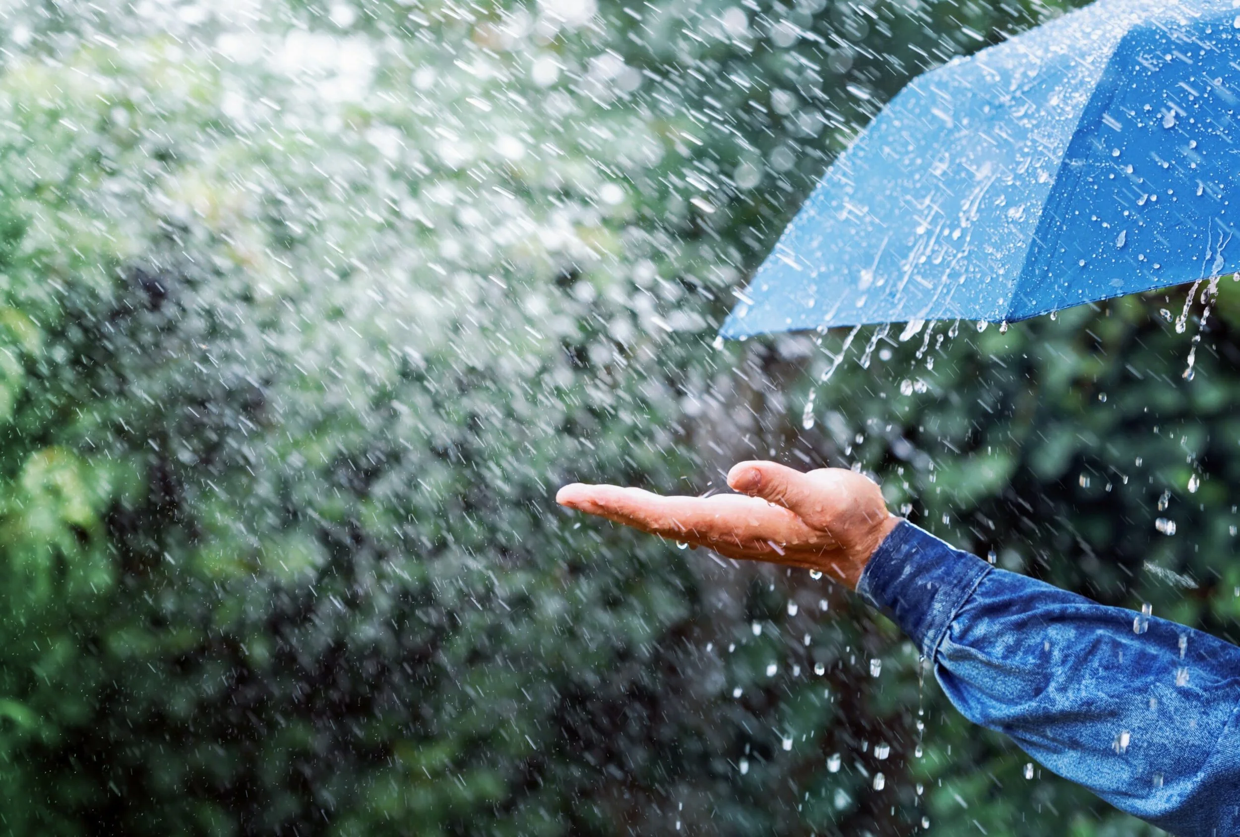
When it rains, several environmental changes take place that reduce the effectiveness of thermal imaging. First, raindrops themselves are cooler than most natural objects, especially warm-blooded animals or sun-warmed terrain. As rain falls, it absorbs and scatters infrared radiation, much like fog scatters visible light. This interference reduces the clarity of thermal images, often blurring or masking the heat signature of the object being observed. In addition, the thermal energy emitted by a target must pass through the layer of falling water to reach the camera, and in heavier rain, much of this energy can be diffused or blocked.
Another issue is that rain creates a cooling effect on surfaces. Wet vegetation, rocks, soil, and even the bodies of animals rapidly lose surface heat due to evaporative cooling. As this happens, the difference in temperature between the target and its background begins to shrink. Since thermal imaging depends on detecting that contrast, a smaller difference makes it harder for the system to distinguish between the subject and its environment. For example, a deer standing in dry grass on a warm evening might glow brightly in a thermal image, but during a cold rain, that same animal may appear only faintly, if at all.
In conclusion, while thermal imaging is a powerful tool, it has its limits — and rain is one of the more impactful environmental variables. Operators should consider weather conditions carefully when planning aerial thermal missions. If rain is forecasted, it may be wise to delay the flight or shift tactics, using other tools or waiting for better conditions to ensure accuracy and safety.
**At Enterprise Aerial Solutions (EAS), we’ve carefully evaluated the real-world performance of thermal imaging in wet conditions and the equipment options available. While waterproof and IP-rated drones do exist, they often come at twice the cost of standard models — with only marginal improvements in thermal performance during rain. That added cost ultimately gets passed on to the customer, and in our experience, the return on investment simply doesn't justify it. Instead, EAS focuses on delivering high-quality results in optimal conditions and being transparent with clients about the limitations of thermal imaging in adverse weather. We encourage customers to be cautious when hiring drone pilots who are eager to take jobs in the rain; just because a flight is possible doesn't mean it's effective. A professional approach means knowing when to fly — and when to wait for better conditions**.